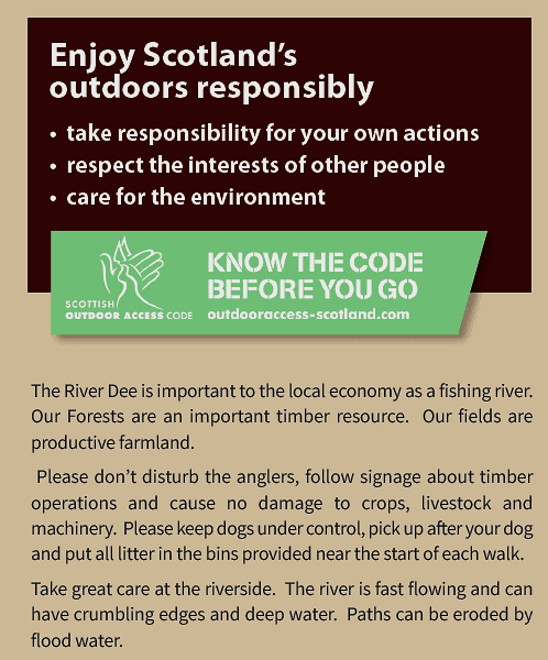
These walks were graded in 2022 as “moderate” using Paths for All guidance. Users are warned that path conditions can change at any time due to wind, water, snow, ice and operational activities. You are responsible for your own safety and must make your own judgement about the condition the walk.
Walk 1. Dess Waterfall circular, 7.0km (4.5 miles), climb 170m, time 2.5hrs.
Moderate Walk with views of the local hills and through woodland to the magnificent Waterfall. Mostly good underfoot conditions. Some moderate ascents and descents. Two gates that open.
Walk 2.Dess Ridge, 5km (3 miles), climb 105m, time 1.75 hrs.
Moderate Skyline Walk with fantastic views. Mostly good underfoot with a rough track across a field. Three gates that open.
Walk 3.Stranduff Circular 7.2km (4.5mls) climb 190 m, time 2.5 hrs.
Moderate walk on quiet country roads with great views. Tarmac roads linked by a farm track rough and rutted in places. Moderate ascents/descents except steep final descent back to KO’N on tarmac.
Walk 4.Dee to Potarch 6km (4mls), climb 20metres, time 2hrs
A pleasant stroll downhill along the Deeside Way to Potarch and back. (Hourly bus service from Potarch.) Good path, mainly level but with one short very steep section just outside Kincardine O’Neil.
Walk 1. Dess Waterfall circular, 7.0km (4.5 miles), climb 170m, time 2.5hrs.

From the village centre go west and turn up Pitmurchie Rd. After 300m fork left onto the Deeside Way. In 1km, soon after going through a gate across the path, follow the Deeside Way left – the grass track going straight on is your route back.
Continue along the Deeside Way to its highest point and start to descend. After 100m, at the clearing, go straight ahead (do not follow the powerlines) and continue down the Deeside Way for about 400m until you see a field through the trees on your left. Soon a level path goes off right. Take this path and follow it to the fenced path round the falls. (Or continue down the Deeside Way to the Dess Burn and follow the rough and muddy track on the East side of the Burn.) Continue round the falls and after c200m join a bigger track from the right. (Turn right here for a short way back to KO’N).
Follow the new track, cross an open area and go up and through more wood. Near a warehouse (private) turn right uphill on a dirt road. After 200 m the road bends left and joins a track from the Deeside Activity Centre. (Café here if you want a break. Check opening times online.)
Turn right and go uphill. After 500 m go through the gate onto a grassy track and go down the road from Townhead Farmhouses. (A longer walk back to KO’N via the Dess Ridge route forks off left just below the wooden hut here). Keep straight on when the tarred road goes right, passing a steading on your right. Go through the stone-built gateway ahead and keeping the house on your left follow the grassy path to rejoin the Deeside Way and back to the village.
Walk 2. Dess Ridge, 5km (3 miles), climb 105m, time 1.75 hrs.

From the village centre go west and turn up Pitmurchie Rd (narrow, beware cars) for about 1200m. When the road turns sharp right carry straight on up the hill. At the fork 50m further on follow the dirt track. (Here the private tarred road – no cars allowed – leads to the Lumphanan Walks Leaflet “East Route” walk, a longer circular option via Newton and Old Town with great views to the Cairngorms). Pass Hill of Dess house and sheds along a grassy track. After c80 m pass a field gate on your right and c100m later take the left track at the fork. (The right track is Lumphanan “Central Route”). When the track starts to go downhill turn sharp left through the gate into the field which often has sheep in it. Please close the gate securely and keep all dogs on a lead. (The straight-on track is Lumphanan “West Route” via Oldtown.)
Follow the contour across the field, on a faint path and after about 200m join a grassy track running between drystane dykes which winds along the ridge to Townhead farmhouse with great views of the local hills. After c400m pass through a green metal gate (please close it) and follow the path below the two Townhead houses to join the road. Keep straight when the tarred road goes right and pass a steading on your right. Go through the stone-built gateway ahead and keeping the house on your left-hand side follow the grassy path to rejoin the Deeside Way and back to the village.
Walk 3.Stranduff Circular 7.2km (4.5mls) climb 190 m, time 2.5 hrs.

From the village centre go west and turn up Pitmurchie Rd (narrow, beware cars) for about 2km passing the “Dess Ridge” walk road and Broombrae farm on your left before coming to a fork at a roadside cottage. Leave Pitmurchie Road here and follow the “Stranduff Farm” road (broken, rutted tar) past Stranduff Farm buildings and house ignoring all tracks off. The road loops clockwise past the farm buildings and goes close to Stranduff farmhouse becoming a farm track with grassy centre just before a gate (keep closed). Go on down to Hindrum on your left, taking time to enjoy the views. This stretch is rough and rutted and wet after rain. Just beyond Hindrum, the Torphins Walks Leaflet “Footie and Hindrum” Walk route joins. Continue straight on the dirt road to the junction with the tarred minor road below Tillyneckle. Turn right and follow the tarred road back up over the hill past Leytoun Farm and steeply down to KO’N with fabulous views of all the local hills and beyond (narrow, beware cars).
Note: At the Tillyneckle junction, turning left is the Torphins “Footie and Hindrum” walk and going straight across is a track back with wide valley views, but now very overgrown until Crooktree.
Walk 4.Dee to Potarch 6km (4mls), climb 20metres, time 2hrs

From the village centre go east past the ruined St Mary’s Church and out of the village on the Deeside Way which soon drops steeply down to the Dee and then continues smoothly between the river and the A93 to Potarch. At Potarch tracks lead down to the riverbank on both sides giving access to the river and great views of the historic bridge and the Dee narrows. Public Toilet in the car park. The Dinnie Stones are at Potarch Café – limited opening hours check online.
Return the same way, enjoying the reverse views over lovely wooded and rural land.